
Find a Richfield Street
A street-by-street search works best as a short chain. Start with the address as it is used now, then capture the parcel identifier and legal description before examining names. Hennepin’s property record can supply the bridge from a physical address to parcel information. The recorder’s index can then connect a legal description or party name to a document. A registration lookup, permit record, or older directory may add a different kind of address evidence. Each source answers a narrower question, so record the source date and the role of every named person.
- Search the Hennepin Property Information Search by the physical address, PID, addition name, or map. Preserve the address exactly as returned.
- Note the PID and legal description, then compare the parcel in the Hennepin GIS service or a Richfield address map. Keep units and parcel splits distinct.
- Use the legal description or a verified party name in RecordEASE to locate targeted deed or title entries.
- For a known person, use Minnesota’s registration match or a lawful voter-file request. It is not a public online street roster.
- For an older address, search the printed address in a reverse directory and log its year, page, and household notation.
That order keeps a Richfield street directory search tied to the parcel rather than to a loose name match. It also makes a later correction easy when an old street spelling or municipal label differs from the modern one.
Richfield Parcels by Address
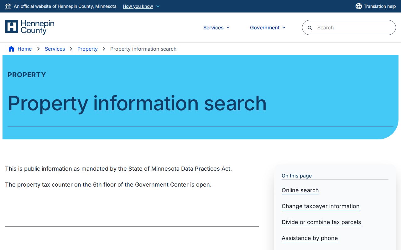
The county property portal offers four distinct routes: property address, a 13-digit PID, addition name, and an interactive map. Its published description says results can include taxes due, current and prior tax information, assessment values, parcel description, sales information, and recently recorded documents. The portal does not state that the public screen accepts an owner-name search. Use a physical address first, especially when the goal is to follow one location along a Richfield street.
| Property search field | How it is used |
|---|---|
| Property address | Optional route for the situs, or physical, address. |
| PID | Optional route using the 13-digit parcel identifier. It is also useful for county phone help. |
| Addition name | Optional route for the legal-description subdivision or addition. |
| Property interactive map | Optional route for clicking a parcel. The live controls were not verified in the research. |
The county property-search screen shows the address, PID, addition, and map choices used to begin this Richfield street directory trail.
Use the resulting PID as the durable key when a street has similar addresses, a changing label, or several parcels near one another.
Note: A property search begins with an address or PID, not an unverified name, because the public consumer page does not advertise name searching.
Richfield Street GIS Details
The official Hennepin Assessors Parcel Data service publishes address, `ZIPCODE`, parcel geometry, PID, community, ward, zoning, land use, property type, values, exemption status, and building fields. It also includes owner and taxpayer field names in its schema. Those schema fields do not prove how each field appears in the consumer property screen, and they do not establish current presence at an address.
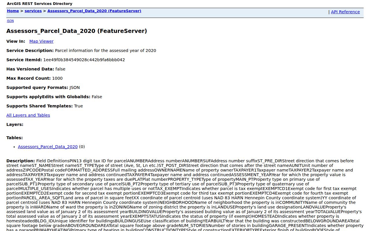
The published parcel-service fields provide a record key and map context for a Richfield street, not a list of everyone connected with it.
For a whole block, select or identify parcels one at a time when the map is available, then keep the PID, physical address, legal description, and access date in a small worksheet. The research did not verify live map buttons for selecting, measuring, or finding adjacent parcels. Richfield’s city maps provide another route for roads, addresses, sidewalks, and mapbook pages, while GIS data can be requested from the city.
- Parcel
- A defined piece of land in the county tax and map system, identified here by a PID.
- Situs address
- The physical location of the parcel or structure, distinct from an address used for mailed notices.
- Plat
- A recorded map that identifies a subdivision, lot, block, or boundary relationship.
- Criss-cross directory
- A reverse directory arranged to move from a printed address to a listed household entry.
Richfield Deeds From Parcels
Move from a parcel to the deed index with the legal description, PID, or a carefully verified party name. Hennepin’s land-title instructions identify legal description and individual or entity name as the useful ways to search property records. RecordEASE also supports Tax ID/PID, Tax Address, and book type with book number and page. Search a current grantee and the legal description, inspect the latest deed reference, then search the seller as an earlier grantee while the lot, block, addition, and parcel details remain consistent.
A free account provides limited public-index access. RecordEASE Pro images cost $2.50 per item. The recorder also offers weekday self-service kiosks at the Government Center Skyway, room SK-0353, and mail or virtual copy routes. The official sources do not give a clear online index cutoff year, so an absent online result is a reason to ask the recorder about kiosk or copy access, not evidence that no older instrument exists.
The RecordEASE public-search entry point is where the legal-description and party checks continue after the Richfield parcel is identified.
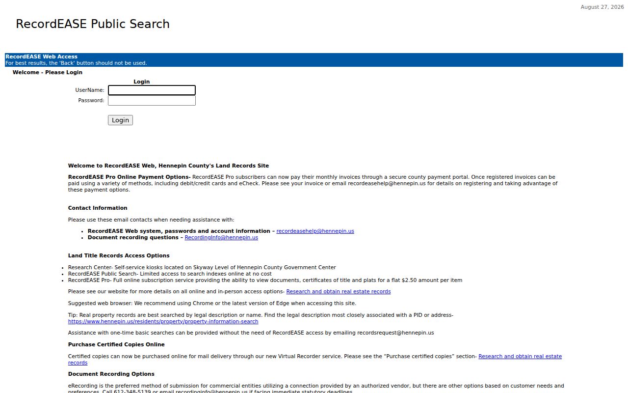
Document parties identify a recorded transaction, which is different from a complete list of people associated with a street address.
Richfield Street Permit Dates
Permit history can add a date, work description, application, or inspection clue to an address trail. The city’s Permits, Inspections and Licenses page directs historical searches to CitizenServe. The city says historical permit data can be viewed without an account, although the research did not capture its precise fields, sort order, or online coverage start date. Treat a permit applicant or contractor as the role shown in that record, not as proof of present occupancy.
Richfield directs newer electrical applications to Minnesota’s Department of Labor and Industry after November 1, 2024. That change matters when an address has older municipal permit material but later electrical records in a different state channel. For records not posted in a portal, the City Clerk’s data-practices request route can be used to ask for public portions of address-linked material.
Note: A permit date can help date work at a parcel, but it does not by itself establish everyone connected with that address.
Historic Richfield Street Listings
Older street research belongs in the directory collections, not in a modern property card. Hennepin Library’s digitized viewer uses exact-text searching, allows `*` and `?` wildcards except as the first character, and does not use Boolean operators. Search the address as it was printed. Test South and S, street-type variants, spelled-out numbered streets, and the older number format. The attached `h` or `r` notation, surname ditto marks, and shortened given names can change what the viewer finds.
MNHS lists Richfield telephone-directory material from 1926 through 1992, with irregular regular and yellow-page runs, plus print and fiche material through 2005. These sources can support a past address trail, but their entries carry publication lag and omissions. For the collections themselves and their reading conventions, use the Richfield Directory Book rather than treating a historic listing as current evidence.
Note: Save the directory year and printed address form, since an abbreviated street type or attached household mark can change a search result.
Richfield Street Records Compared
Address-keyed records overlap, but none replaces the others. The table separates the county and city sources by the question each one can answer. A PID and legal description keep the property and deed trail aligned. A printed address can then connect a historical directory entry, while a city request may locate public permit or classified incident material.
| Address record | Custodian | Useful return | Access channel |
|---|---|---|---|
| Property and tax card | Hennepin Assessor | PID, situs, taxpayer or owner fields, values, sales, and characteristics | Web, counter, phone, or email |
| Parcel GIS | Hennepin GIS and Assessor | Geometry, ZIP, district fields, and published schema attributes | Viewer, service, download, or data request |
| Land-title index | Hennepin Recorder | Grantor, grantee, date, document number, and legal description | Account index, paid image route, kiosk, mail, or virtual copy |
| Permit history | Richfield Community Development | Work and inspection evidence by address when public | CitizenServe or City Clerk request |
| Registration records | Minnesota election officials | Individual registration confirmation or lawful public-file fields | Registration match or statutory request |
Property and deed sources are best for ownership and transaction research. Registration data has separate statutory limits, and the individual match is not a street-wide export. The county tax counter at 300 S 6th Street can help with a PID, property description, tax information, or assessment question when the web path stalls.
Richfield Street Address Roles
A physical or situs address identifies the parcel itself. A taxpayer or owner mailing address is where a tax notice is sent, and it may be elsewhere in Richfield, in another state, or at another property. A grantor or grantee is a party to a recorded instrument. A permit may name an applicant or contractor. A directory can show a historical household notation. Keeping those labels beside each name prevents a street directory result from being overstated.
Homestead is also an exemption or status field, not proof that a named person is at the address now. The published parcel schema includes owner and taxpayer attributes, but the research did not open a live Richfield result to verify each public display label. Record the exact screen or document that supplied the name and the date it was checked.
Richfield Street Boundary Labels
Historic address research may cross a municipal label even when the modern site is associated with Richfield. The city’s former footprint was much larger, and territory was annexed to Minneapolis in 1927. The circa-1940 Richfield atlas has missing maps 1 through 11 for that annexed territory, while maps 12 through 32 remain. Search both Richfield and Minneapolis labels when an old directory, aerial, or map seems out of place.
The research did not verify a citywide renumbering or renaming year. Do not force an old number into a modern pattern. Instead, bridge the address with the lot, block, addition, parcel geometry, directory spelling, city mapbook, and deed legal description. This geography check is especially useful before comparing a historical street listing to a current PID.
Note: A postal city, voter precinct, tax situs, and municipal boundary can differ, so retain the official key that each record actually uses.
Richfield Street Directory Limits
There is no public source that shows every person connected with a Richfield address. Parcel and deed records identify property-related roles. A historical directory may identify a householder or another printed entry. The MNVotes form requires a known person’s name, birth date, and address components, then provides a registration confirmation or instructions. Minnesota’s public voter-list rules also restrict searchable republication. It cannot be used as an online block roster.
Driver information is protected under Minn. Stat. §171.12, and no public utility-customer list was located. Safe at Home participants use a designated address and their actual residence is protected. A failed search can reflect a typo, a move, a recent registration action, or protected data. Those limits are part of an accurate street-by-street result.
Lawful personal use. Use Richfield address records for personal, lawful research and protect information that is restricted or sensitive. Never use records to stalk, harass, intimidate, or harm another person.
Note: An address-based record can establish only the particular role and date it records, not every person who may be connected with that location.
Richfield Street Research Notes
A useful worksheet has one row for each source and date. Include the physical address as searched, PID, legal description, source name, access date, and the record role of each named party. Add the directory year and page for historical entries. For a deed chain, include grantor, grantee, recording date, document number, and the lot or block detail used to confirm the parcel.
That record of method makes it possible to revisit a Richfield street directory trail through the assessor counter, recorder kiosk, city mapbook, or library shelf when an online result is incomplete. It also keeps a parcel connection, a historical listing, and a registration check from being mistaken for the same kind of fact.