
Richfield Neighbors by Block
The useful public trail is parcel-based. Start with the subject property, then check the immediately touching or nearby parcels one at a time. The Hennepin map and property sources can provide address, PID, parcel geometry, and public owner or taxpayer fields. RecordEASE can connect a parcel to recorded instruments. Community programs offer a voluntary way to meet a block, but do not provide member lists. Each source has a different purpose, and none creates a complete, current roster for a street.
| Source | Block information | Access route |
|---|---|---|
| Hennepin GIS | Parcel geometry, address, ZIP, zoning, ward, and published owner or taxpayer schema fields | Official map viewer or parcel-data service; live controls need confirmation |
| Hennepin property search | Individual parcel, tax, assessment, sales, and recently recorded-document clues | Address, PID, addition, or map, with counter and phone fallback |
| RecordEASE | Recorded instruments, legal description, and parties tied to an adjoining parcel | Free limited index account, paid images, kiosk, or copy route |
| State voter records | One supplied registration match or limited public-file information by lawful request | Individual MNVotes query or statutory request, not an online block export |
| Crime Watch | One-block organizing, alerts, security resources, and a police liaison | City Crime Prevention contact, without a member roster |
An owner or taxpayer field may be a good lead for a parcel, but it is not a claim about all occupants. A mailing address may be elsewhere. Likewise, a historical directory can show a householder at publication time without proving a current connection. Keep the person role and source date with every parcel note.
Select a Richfield Neighbor Parcel
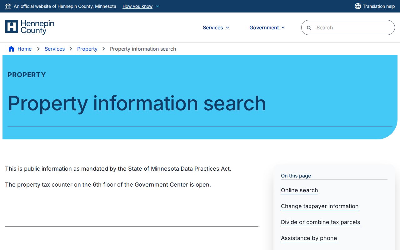
Use Hennepin Property Information Search to establish the subject address before examining nearby parcels. Its documented routes are property address, a 13-digit PID, addition name or legal description, and an interactive map. The resulting record can provide current and prior tax information, assessment values, a tax-parcel description, sales information, and a recently recorded-documents section. Copy the PID and legal description because a street number alone may not distinguish every unit or parcel split.
The Hennepin property-search screen presents the official routes for beginning this careful Richfield block check.
A taxpayer mailing field is where notices go and can differ from the parcel’s situs, its physical location. Homestead is an exemption or status indicator, not proof that a named person currently occupies the parcel.
Richfield Parcel Fields by Block
Hennepin’s published parcel-data schema is a useful checklist for a block worksheet. It includes formatted address, ZIPCODE, PID and parcel geometry, plus OWNERNAME and TAXPAYER1 through TAXPAYER4. It also identifies community, ward, zoning, land use, property type, values, exemptions, homestead, and building characteristics. The schema is not a promise that each field appears in the consumer property screen. Treat it as a guide to the county’s mapped data, then verify any displayed attribute in the source used.
The official Hennepin parcel-data service documents the address, ZIP, and parcel fields that help distinguish nearby lots.
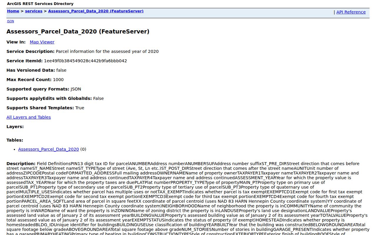
Record the source date beside every field. The published service is labeled 2020, while county material describes annual parcel data, so a searcher should not assume a map attribute has the same timing as a current tax or deed record.
Note: Parcel identifiers, legal descriptions, and map geometry are better continuity keys than a street number when lots change or a condominium has several units.
Map a Richfield Neighbor Block
The Hennepin ArcGIS endpoint is the official parcel-viewer route, but the research pass could not verify its live identify, select, buffer, measure, or export controls. When the viewer is available, use it to select the subject feature, then inspect only touching or immediately nearby parcel polygons. A small worksheet makes the map work defensible because it separates location facts from person-role facts.
- Find the subject address and preserve its PID, legal description, and map position.
- Identify a touching parcel or a parcel immediately across the mapped street, then note its address, PID, direction, and source date.
- Open the property record for each PID separately. Keep an owner or taxpayer field, mailing clue, zoning, and land-use field in distinct columns.
- Use RecordEASE only for a targeted document or legal-description check, and mark the person as a recorded party rather than an occupant.
A corner parcel can front two streets, one PID can have a mailing address elsewhere, and several units can sit under a complex parcel arrangement. For a full named-street record chain rather than an immediate block, use the Richfield street directory.
Compare Richfield Neighbor PIDs
PID means parcel identification number. It is the 13-digit county key that links property-tax questions to the land record and map. A PID is often more reliable than a street label for comparing adjacent parcels because a street number can be reused, altered, or divided among units. The legal description supplies a second check. If a result names a grantor or grantee, confirm the PID, lot or block, addition, document date, and party role before carrying that name into a block note.
RecordEASE allows a targeted search by the legal description or by party name after the property search supplies the bridge. Its public index requires an account, while document images use separate access. Hennepin also maintains in-person kiosks and copy routes when the relevant item is not easily visible online. Exact online historical coverage was not stated by the official pages, so do not infer a missing deed from a short result list.
Note: Keep the source date with every PID because a parcel map, tax record, and recorded document may refresh on different schedules.
Richfield Neighbor Voter Rules
MNVotes does not create a public list of nearby residents. The individual registration tool requires a name, birth information, and address components, then returns a match or instructions. Minnesota’s public voter-list rules allow specified information through the proper request process, but require identification and a written statement about use. The statute bars publishing a searchable online voter database and excludes full birth dates, identification numbers, and protected addresses.
A name and residence address from the lawful public file still do not prove someone is currently at a parcel. Registration data can lag a move, and Safe at Home participants do not appear at their actual location in the ordinary public list. Voting history never reveals ballot choices. Use the election office for a lawful, narrow records request instead of attempting to build a neighborhood roll.
Richfield Crime Watch Connections
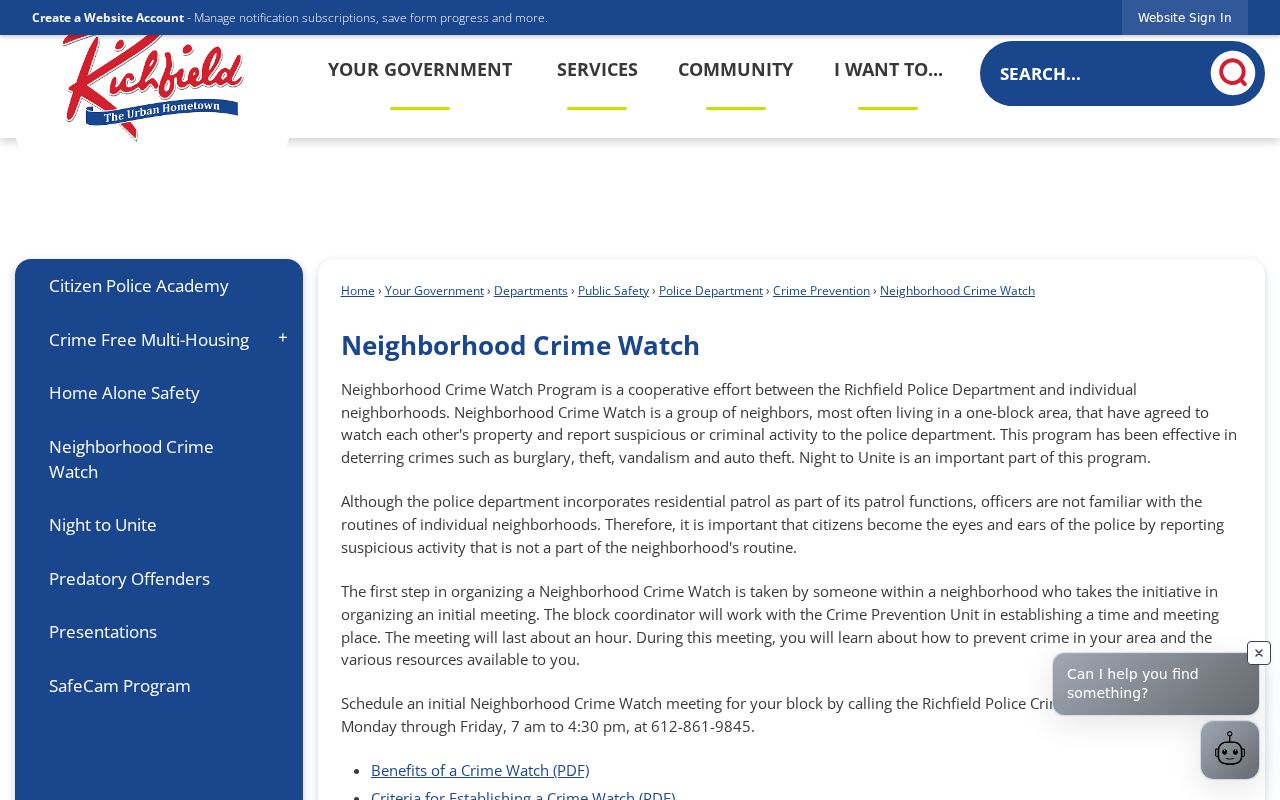
Richfield’s Crime Watch program is the verified one-block civic layer. Groups may be as small as a block and can receive a police liaison, crime alerts, the twice-yearly Eye Spy newsletter, home-security surveys, Operation ID support, current crime statistics, prevention information, and block-leader meetings. It is a way to connect with a community, not a way to obtain a private membership list.
| Crime Watch contact detail | Richfield information |
|---|---|
| City program | Richfield Neighborhood Crime Watch |
| Block connection | One-block groups, block-leader meetings, alerts, and police liaison |
| Public contact | Crime Prevention Unit, 612-861-9845, Monday through Friday, 7:00 a.m. to 4:30 p.m. |
| Roster status | No official public member roster was located |
The Richfield Neighborhood Crime Watch page identifies the city program and its connection options.
Night to Unite adds an annual connection route, with nearly 200 registered parties in a typical year. Registration and participation do not make attendees or host households a public directory.
Richfield Neighbor Community Contacts
The city’s public directory lists departments, staff contacts, commissions, and boards, so it can help identify the right civic contact for a block issue. It is not a neighborhood household roster. The research also identified public institutional contacts such as the Richfield Chamber, the Historical Society, school resources, and Crime Watch, but did not find an official public HOA-member directory or a complete umbrella list of neighborhood associations.
That absence matters. A public contact for a voluntary organization may help a resident reach the right group, while a private membership list should not be reconstructed from parcels, school pages, or old addresses. For historical context, the Richfield Historical Society and Minnesota Digital Library hold maps and aerial material that can explain a street or block without identifying current residents.
Note: A public contact helps reach an organization, but it does not authorize collecting or republishing private membership details.
Official Records for the Richfield Block
Official records and commercial neighbor-search categories serve different purposes. An official parcel record identifies the county’s recorded attribute for a specified property and date. A commercial compilation may blend public records, marketing information, and older address associations. It can be stale, mismerge people with the same name, or omit protected individuals. The proper response to a mismatch is to verify the primary record, not to treat the larger list as more accurate.
| Source category | Useful block question | Key limit |
|---|---|---|
| Official parcel and deed records | Which parcel and recorded party does this identifier describe? | Does not list every occupant or private member |
| Official civic program | How can someone connect with a nearby community effort? | Does not publish a block roster |
| Commercial compilation category | What older associations might need verification? | May be stale, incomplete, or incorrectly merged |
Use the property record for parcel facts, the city program for voluntary connection, and the actual custodian for a public document. That sequence keeps the Richfield block search close to the records that can support it.
Privacy Limits for Richfield Neighbors
Public parcel data is not a census of a block. It may identify a recorded owner or taxpayer, but not every household member. DMV data is protected, and no public utility-customer or delivery-record route was found. Safe at Home shields actual residential addresses for eligible participants. Court sealing, voter protections, and data classification can also limit a search. If an address or person does not appear, do not infer a reason or try to defeat a protection.
Lawful use. Use Richfield block records for personal, lawful research and voluntary community connection. Never use a parcel, name, or address to monitor, harass, intimidate, or harm another person.
The Minnesota Government Data Practices Act provides a route to request public city data, but access depends on classification and does not override privacy laws. When a record needs correction or context, contact the office that keeps it rather than copying an uncertain claim across sources.