
Richfield Previous Residents Source Timeline
One address needs an era-by-era trail. Start with the parcel because it supplies a stable identifier and legal description, then use recorded instruments for transfers and printed sources for household evidence. The source that names a deed party may not name the people who stayed at the address, and a directory listing may not show ownership. Keeping those roles apart is the key to a reliable Richfield previous-residents search.
| Source | Years It Covers | Where Held | What It Shows |
|---|---|---|---|
| RecordEASE land-title index | Official online cutoff not stated | RecordEASE, Recorder kiosk, mail, and virtual-copy routes | Recorded parties, document details, legal description, and title trail |
| Hennepin property and GIS data | Annual parcel data described from 2005; consumer depth not stated | County property search and GIS service | PID, situs, owner or taxpayer fields, assessments, sales, and recent recordings |
| Richfield telephone directories | 1926 to 1992, irregular; print and fiche material through 2005 | MNHS Gale Family Library finding aid | Street address and telephone-listing context, with regular and yellow-page gaps |
| Federal census | Released under the 72-year rule | National Archives and library databases | Household composition and era context, not a current listing |
| Sanborn maps and permits | Sanborn years include 1912, 1921, and 1930; permit start year not stated | MNHS Reel 23 and Richfield CitizenServe | Structure, lot, alteration, and date context rather than a resident roster |
Use the deed trail when the question is a transfer of property. Use printed directories and telephone books when the question is who lived there between transfers. A map or permit can explain a rebuilt structure, an altered street, or a boundary change. When online coverage is not stated, use the Recorder, the kiosk, archive staff, or a targeted public-data request rather than supplying an unsupported start year.
Richfield Previous Residents Begin at the Parcel
Freeze the modern record before moving backward. Hennepin's property search accepts a property address, 13-digit PID, addition name, or an interactive-map route. The result description includes taxes due, current and prior-year taxes, assessment values, tax-parcel description, sales information, and a recently recorded-documents section. Copy the exact address as entered, PID, legal description, assessment year, and any current owner or taxpayer field into a dated worksheet.
Situs means the physical place of the parcel. A taxpayer or owner mailing address is where notices go and can be elsewhere. It is a lead for a recorded party, not proof of who stayed at the Richfield address. The county's published GIS schema includes fields such as FORMATTED_ADDRESS, OWNERNAME, TAXPAYER1 through TAXPAYER4, ZIPCODE, and parcel geometry, but the research did not confirm how every field appears in the consumer view.
Note: A prior-resident worksheet should label owner, taxpayer, householder, deed party, and permit applicant separately because those roles describe different evidence.
Trace Richfield Previous Residents Through Deeds
Recorded deeds follow the property, not every person who occupied it. Hennepin directs researchers to use a legal description or an individual or entity name for real-property records. The parcel search supplies the bridge from a street address to that legal description. At every transfer, compare the lot, block, addition, PID, recording date, and party role. A matching surname alone is not enough because one person or entity can be connected to more than one parcel.
- Search the modern parcel card and write down the PID, legal description, current owner or taxpayer field, and recent-recording details.
- Use the legal description and current grantee name in RecordEASE, then locate the latest deed or certificate reference.
- Record the grantor, grantee, document type and number, recording date, book or page reference if shown, and legal description.
- Search the seller or grantor as the earlier grantee, then repeat only while the lot, block, addition, and parcel context agree.
- When an online result stops, use the Recorder kiosk, documented copy route, or archive assistance instead of guessing an earlier transfer.
- Grantor and grantee
- The grantor transfers an interest in a recorded instrument. The grantee receives that interest. Their roles must be read for each deed.
- Chain of title
- The sequence of recorded transfers tied to the same parcel. It is a property trail, not a full list of past residents.
- Legal description
- The recorded lot, block, addition, or related land description. It remains more dependable than a street label when an address changes form.
- PID
- Hennepin's 13-digit parcel identifier. It connects the property search, tax information, GIS data, and deed research.
The Hennepin RecordEASE public search is the county entry point for land-title index research.
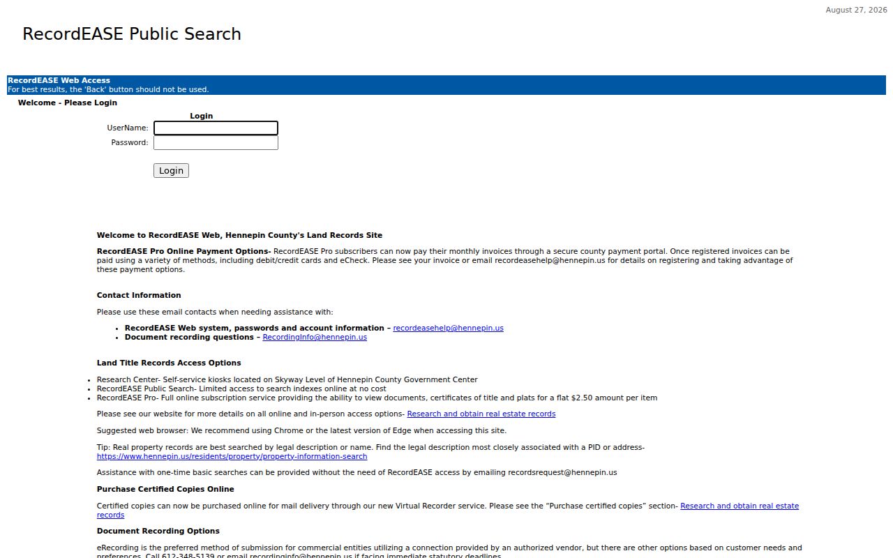
The image represents the index entry point, while the deed trail still depends on matching the legal description and transfer roles at each step.
Richfield RecordEASE Limits and Fallbacks
RecordEASE offers a limited public index through an account. Its official guide confirms Tax ID or PID, Tax Address, and book type with book number and page as search modes. PID searches use 13 digits without dashes or spaces, and book numbers should not have leading zeros. Full document images are available through RecordEASE Pro for $2.50 per item. The research did not find an official online cutoff year, so do not assume that a missing result marks the first transfer.
Hennepin provides self-service Recorder and Registrar kiosks at the Government Center Skyway, room SK-0353, 300 S Sixth Street, generally weekdays from 8:00 to 4:30, excluding county holidays. Other documented routes include mail and virtual certified copies. Property owners may request free electronic deed or certificate copies by email. These choices preserve a direct route to the custodian when the address trail reaches material not visible in the public index.
Richfield Previous Residents in Directories
For people who lived at an address between deed transfers, begin with the printed street form. Hennepin County Library says its digitized city-directory viewer uses exact-text search, is not case-sensitive, allows * and ? wildcards except first position, and does not use Boolean operators. Test South and S, changing street-type abbreviations, spelled-out numbered streets, and older numbering. Later directories may join h or r to the number, so search both forms.
The h mark can mean homeowner or householder in later runs, while r can mark a roomer listing. Names can also be abbreviated, shown with ditto marks, paired with a spouse, or omitted in early editions. That is why a directory entry should be labeled as a historical householder or roomer listing, not silently converted into an ownership finding. The collections themselves are detailed in the Richfield city directory.
Note: A directory’s printed address and edition date should be recorded before it is paired with a deed or census entry from another year.
The MNHS telephone-directory finding aid identifies the Richfield holdings that can fill some gaps between scanned directory editions.
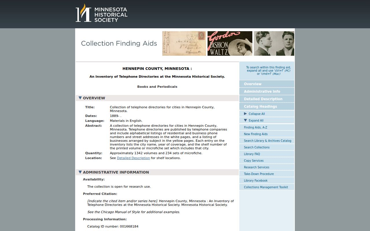
Telephone books supply an additional address layer, but unlisted numbers, publication lag, and irregular holdings prevent them from becoming a complete household history.
Richfield Previous Residents Census Pairing
Pair a directory year with the closest released federal census year to test the household layer. The census uses a 72-year release rule, so it is an era anchor rather than a modern resident source. Use the directory to preserve a printed address and name form, then compare the census household only after the address, municipal label, and time period line up. A difference can signal a move, a change in the listing convention, or a boundary issue.
- Place each directory or telephone-book finding in date order with its exact printed address and page reference.
- Choose a released census year near the gap and check whether the same street, household name, or city label is plausible.
- Compare spouse notation, ages, and address context without treating a single matching name as final proof.
- Use yearbooks for school-era context, then check newspapers, probate, or deeds when a person disappears from the printed trail.
MNHS holds Hennepin civil-court case files from 1858 to about 1934 and naturalization materials on microfilm from the 1850s through the 1950s. Those records may supply family-history context, but they are separate from the address trail and may have access limits. For post-1977 local newspaper material, the Gale Family Library is often the access point because of copyright restrictions.
Richfield Sanborn Maps for Past Residents
Sanborn maps help date the place around a past-residents record. MNHS identifies Reel 23 as the verified Richfield route, including volumes for 1912, 1921, and 1930, plus additional sheets from 1916 through 1923. Volume 11 includes Bloomfield, Richfield, and Richfield Center. These maps can show a building footprint, street, lot, and use. They cannot identify a person without another record.
Historic city labels need the same care. Richfield's original area was far larger than the present city, and territory was annexed to Minneapolis in 1927. The circa-1940 Richfield atlas has missing maps 1 through 11 for annexed territory, while maps 12 through 32 survive. Preserve a Minneapolis label as a research lead when it fits the old boundary, then test it against a lot, block, legal description, atlas sheet, and printed street form.
Richfield Previous Residents, Lawful Research
Label every finding by record type and date. A deed identifies instrument parties, a property record lists owner or taxpayer fields, a directory may list a householder or roomer, and a permit may name an applicant or contractor. Those are not interchangeable facts. Richfield historical permits are available through CitizenServe without an account according to the city, but exact online fields and coverage dates were not verified. New electrical permits moved to Minnesota Department of Labor and Industry authority on November 1, 2024.
Lawful use. Use a Richfield address history for family history, personal house history, or civic research. Minnesota law does not permit stalking, harassment, threats, repeated unwanted contact, or publication intended to endanger a person.
Protected addresses and records create real limits. Safe at Home participants receive a designated mailing address while their actual residence is protected, and driver data is protected under Minnesota law. Public-record research should end where a record is classified, sealed, or protected. A careful record trail shows both what the source says and what the source cannot establish.
Note: When a public record is absent or restricted, switch to the recorder, court, library, archive, or city-request channel instead of inferring missing facts.